Oxford International Primary Atlas

This product is not currently available.
To help you find what you're looking for, see similar items below.
This product has not been rated yet.
0 reviews (Add a review)

Delivery information
- FREE UK delivery on orders £30 or over
- £4.95 delivery charge on UK orders under £30.00
Book Club orders
- FREE delivery to schools
- Books will be despatched after the school's order is confirmed
UK delivery within 2-3 working days
Delivery charges and times vary for overseas addresses
Product description
The Oxford International Primary Atlas is a clear, bright, and informative atlas designed for primary learners. This new edition includes up-to-date country data, easy-to-read colourful mapping, and worldwide topographic content, including regions such as Europe, Malta, Cyprus, Middle East, Malaysia, and Hong Kong.
Key Features:
- Comprehensive Coverage: Clear maps of the world and all continents, plus stunning aerial photographs and satellite images.
- Curriculum-Aligned Themes: Landscapes, water, settlements, connections, and environments.
- Accessible Design: Layout based on research into how children use maps, with colourful photographs and attractive artwork.
- Learning Support: Learning statements introduce each theme, focus panels prompt enquiry, and innovative grid codes help children find places.
- Interactive Learning: Accompanied by an Activity Book for independent work to develop map literacy skills.
This atlas combines rigorous content with engaging visuals, making it the ideal resource for developing geographical knowledge and map skills.
Product Details
Format
Paperback
ISBN
9780198480228
Condition
New
Reviews
This product has not been reviewed yet.
Add a review
Similar items
-
 Oxford Very First Atlas
- gbp prices
- Offer price: £1.00
- Rewards/RRP: £6.99
-
Collins Primary Atlas
- gbp prices
- Offer price: £3.00
- Rewards/RRP: £7.99
-
Oxford Primary Atlas
- gbp prices
- Offer price: £3.00
- Rewards/RRP: £10.99
-
Stranger Places
- gbp prices
- Offer price: £1.00
- Rewards/RRP: £5.99
-
6copies
Silence is Not an Option (6 Copies)- gbp prices
- Offer price: £35.94
- Rewards/RRP: £53.94
-
Lift-the-flap Looking After Our Ocean
SAVE Promo available
- gbp prices
- Offer price: £7.99
- Rewards/RRP: £10.99
-
100 Things to Know About Planet Earth
- gbp prices
- Offer price: £7.99
- Rewards/RRP: £9.99
-
See Inside Wild Places
SAVE Promo available
- gbp prices
- Offer price: £6.99
- Rewards/RRP: £10.99
-
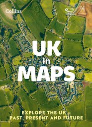
UK in Maps
- gbp prices
- Offer price: £5.49
- Rewards/RRP: £7.99
-
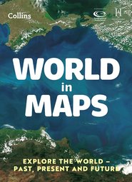
World in Maps
- gbp prices
- Offer price: £5.49
- Rewards/RRP: £7.99
-
4books
Lollies 2025 Non-Fiction Shortlist (4 Book Set)SAVE Promo available
- gbp prices
- Offer price: £16.99
- Rewards/RRP: £35.96
-
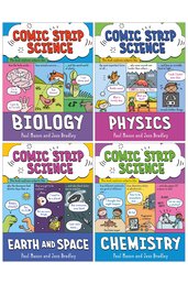
4books
Comic Strip Science 4 Book Set- gbp prices
- Offer price: £27.99
- Rewards/RRP: £39.96


