Collins Primary Atlas

This product is not currently available.
To help you find what you're looking for, see similar items below.
This product has not been rated yet.
0 reviews (Add a review)

Delivery information
- FREE UK delivery on orders £30 or over
- £4.95 delivery charge on UK orders under £30.00
Book Club orders
- FREE delivery to schools
- Books will be despatched after the school's order is confirmed
UK delivery within 2-3 working days
Delivery charges and times vary for overseas addresses
Categories
Product description
The must-have atlas for children aged 7-11
Collins Primary Atlas is a great introduction to mapping of the UK, Europe and all major regions of the world. It supports the Key Stage 2 curriculum and is suitable for children aged 7-11 years.
This new, fully up-to-date edition includes information on map reading skills, the meaning of scale and measuring distances, and is ideal for classroom use or home learning.
Reference maps:
- Informative, politically coloured and easy-to-read
- National capitals and major cities are clearly labelled
- Maps are supported with national flags and basic national statistics
Continental maps:
- Linked to regional mapping
- Supported by a selection of aerial and terrestrial photographs
- Relief maps show layer colouring and highlight major physical features
This atlas is also available in a Kindle format. The next atlas in the series is the Collins School Atlas, suitable for ages 11+ and KS3.
Product Details
Format
Paperback
ISBN
9780008485948
Publisher
Date published
March 3rd, 2022
Other details
- 68 pages
Condition
New
Reviews
This product has not been reviewed yet.
Add a review
Similar items
-
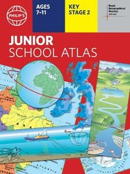
 Philip's RGS Junior School Atlas
- gbp prices
- Offer price: £8.10
- Rewards/RRP: £8.99
-
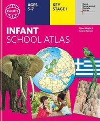
Philip's RGS Infant School Atlas
- gbp prices
- Offer price: £8.10
- Rewards/RRP: £8.99
-
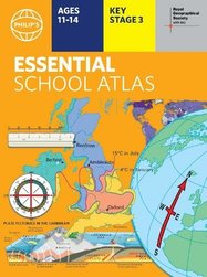
Philip's RGS Essential School Atlas
- gbp prices
- Offer price: £8.10
- Rewards/RRP: £8.99
-
6copies
Philip's Junior School Atlas (6 Copies)- gbp prices
- Offer price: £49.00
- Rewards/RRP: £53.94
-
6copies
Philip's Infant School Atlas (6 Copies)- gbp prices
- Offer price: £49.00
- Rewards/RRP: £53.94
-
30copies
Philip's Junior School Atlas (30 Copies)- gbp prices
- Offer price: £215.00
- Rewards/RRP: £269.70
-
30copies
Philip's Infant School Atlas (30 Copies)- gbp prices
- Offer price: £215.00
- Rewards/RRP: £269.70
-
6copies
Philip's Essent School Atlas (6 Copies)- gbp prices
- Offer price: £49.00
- Rewards/RRP: £53.94
-
30copies
Philip's Essential School Atlas (30 Copies)- gbp prices
- Offer price: £215.00
- Rewards/RRP: £269.70
-
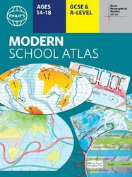
Philip's RGS Modern School Atlas
- gbp prices
- Offer price: £9.90
- Rewards/RRP: £10.99
-
World in Maps
- gbp prices
- Offer price: £7.20
- Rewards/RRP: £7.99
-
UK in Maps
- gbp prices
- Offer price: £7.20
- Rewards/RRP: £7.99


