Collins Primary Atlas: UK in Maps
This product is not currently available.
To help you find what you're looking for, see similar items below.
This product has not been rated yet.
0 reviews (Add a review)

Delivery information
- FREE UK delivery on orders £30 or over
- £4.95 delivery charge on UK orders under £30.00
Book Club orders
- FREE delivery to schools
- Books will be despatched after the school's order is confirmed
UK delivery within 2-3 working days
Delivery charges and times vary for overseas addresses
Product description
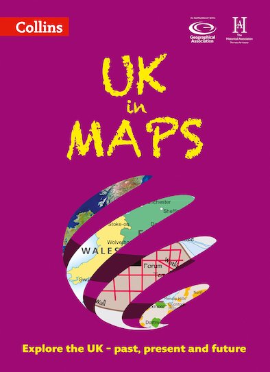
This multi-topic atlas of the UK introduces the most relevant topics to reflect the Geography Key Stage 2-3 requirements of the National Curriculum.
This collection of maps can be used to investigate different themes and topics. It tells a story in maps, diagrams, charts, words and photographs each of which presents information to compare and examine. Ideal for age 8+, with free downloadable activities.
We live on a remarkable planet and this atlas helps us to make sense of the UK today and understand how things came to be as well as how they might change in years to come.
Suggested activities on each spread encourage users to explorer further. Explore the range with World in Maps also available.
Product Details
Format
Paperback
ISBN
9780008271732
Publisher
Date published
January 3rd, 2019
Other details
- 56 pages
Condition
New
Reviews
This product has not been reviewed yet.
Add a review
Similar items
-

5books
Favourite Welsh Fiction 5 Book SetSAVE Promo available
- gbp prices
- Offer price: £30.00
- Rewards/RRP: £39.95
-
30copies
Philip's Modern School Atlas (30 Copies)SAVE Promo available
- gbp prices
- Offer price: £263.00
- Rewards/RRP: £329.70
-
Philip's RGS Junior School Atlas
SAVE Promo available
- gbp prices
- Offer price: £8.10
- Rewards/RRP: £8.99
-
Lift-the-flap Looking After Our Ocean
SAVE Promo available
- gbp prices
- Offer price: £7.99
- Rewards/RRP: £10.99
-
100 Things to Know About Planet Earth
- gbp prices
- Offer price: £7.99
- Rewards/RRP: £9.99
-
UK in Maps
SAVE Promo available
- gbp prices
- Offer price: £7.20
- Rewards/RRP: £7.99
-
World in Maps
SAVE Promo available
- gbp prices
- Offer price: £7.20
- Rewards/RRP: £7.99
-
See Inside Wild Places
SAVE Promo available
- gbp prices
- Offer price: £6.99
- Rewards/RRP: £10.99
-
History Atlas
SAVE Promo available
- gbp prices
- Offer price: £12.99
- Rewards/RRP: £20.00
-
4books
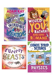
Lollies 2025 Non-Fiction Shortlist (4 Book Set)SAVE Promo available
- gbp prices
- Offer price: £16.99
- Rewards/RRP: £34.96
-
6copies
Philip's Junior School Atlas (6 Copies)SAVE Promo available
- gbp prices
- Offer price: £49.00
- Rewards/RRP: £53.94
-
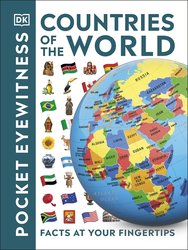
Countries of the World
- gbp prices
- Offer price: £5.40
- Rewards/RRP: £5.99


